Biography
Léo has a BSc in Computer Science and Mathematics, and a MScF, both from the University of Toronto. He completed his MScF in the James Lab, where he was devising methods for analyzing fuel structure attributes from point clouds of forests collected using Terrestrial LiDAR Scanners. These new methods helped him investigate the impact of jack pine budworm outbreaks on fire behaviour in Ontario’s boreal forest. He stayed in the lab as a Research Associate, helping with the WRFI lidar project. When not busy writing code, he is either cooking or thinking about the next thing he is going to cook.
Education
- University of Toronto
Undergrad: Hon. BSc. in Computer Science and Mathematics - University of Toronto
Master of Science in Forestry
Role in the lab
When not simulating lidar, fires, or both, Léo likes to help his colleagues code, and enjoys taking care of the lab’s computational server. If this website is out of date, it might be his fault!
Publications
Jourdan L, James PMA. 2026. Improving Selection of Forest Fuel Metrics Using Synthetic Lidar Point Clouds. Ecological Informatics
Jourdan L, Korkola K, Piascik P, & James PMA. 2026. Right on target: Monopods and polystyrene spheres as an alternative to traditional tripods for terrestrial laser scanning. Canadian Journal of Forest Research
Conference presentations
Jourdan, L., Shakeri, Z., James P. M. A. (2026, August 27). Terrestrial lidar outperforms manual measurements in detecting canopy fuel structure changes after jack pine budworm outbreaks. IBFRA 2026. Quebec City, Quebec.
Jourdan, L. & James, P. M. A. (2026, February 27). Using Terrestrial Lidar to evaluate the gradual change in fuel structure following jack pine budworm outbreaks. Wildfire Canada Webinar.
Jourdan, L. & James, P. M. A. (2025, October 25) Improving Forest Fuels Characterization using Lidar. Wildfire Resilience Consortium of Canada - Building Foundational Knowledge Gathering. Kamloops, BC.
Jourdan, L., & James, P. M. A. (2025, February 25). Evaluating terrestrial lidar fuel metrics in NG-CFFDRS sampling plots using synthetic point clouds. International workshop on the operational use of mobile and airborne lidar for enhanced forest inventory and modelling forest fire. Quebec City, Quebec.
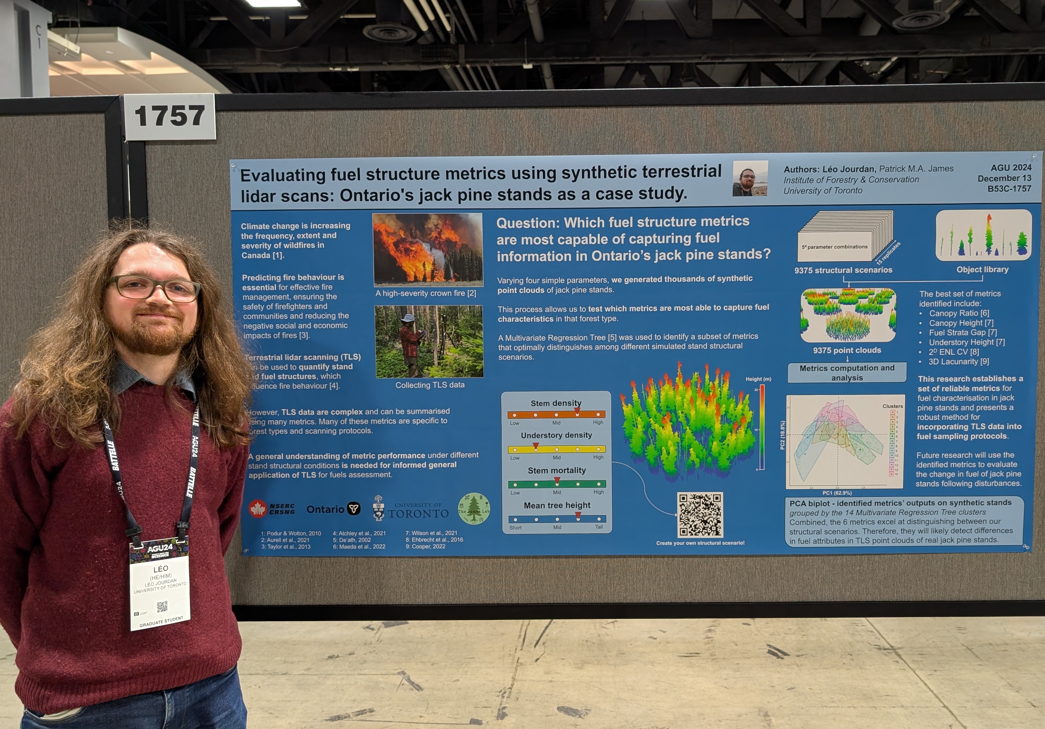
Jourdan, L., & James, P. M. A. (2024, December 13). Evaluating fuel structure metrics using synthetic terrestrial lidar scans: Ontario’s jack pine stands as a case study. AGU 2024, Washington D.C., USA.
Jourdan, L., & James, P. M. A. (2024, November 26). Évaluation des métriques de combustibles en utilisant des données synthétiques de Lidar. TRIDIFOR 2024.
Jourdan, L., & James, P. M. A. (2024, October 31). Using synthetic terrestrial lidar scans to evaluate fuel structure metrics: Ontario’s jack pine stands as a case study. Wildland Fire Canada, Fredericton, N.B.
Risk, C., Jourdan, L., Gandiaga, F., Korkola, K., & James, P. M. A. (2022, November 10). An interactive operations research tool for field work site selection in forestry. CANSSI Ontario Statistical Software Conference, Toronto, ON.
Other things:
Below is a webpage for a demo of preliminary work generating synthetic terrestrial lidar of Ontario’s jack pine stands, which I prepared to illustrate a poster for the AGU 2024 conference. An improved version of this work was published in Ecological Informatics.